

TOUR AT CD: NGI
The Chief Directorate: National Geospatial Information (CD: NGI) is a unit within the Branch: National Geomatics Management Services (NGMS) under the Department of Land Reform and Rural Development (DLRRD). Join us to explore how this directorate and the NGMS supports the country
through its expertise in geospatial and cadastral information.
3.5 hours
Priced from ZAR 720 per pp
INFORMATION
-
Price on a per person basis
-
Minimum 15 participants to guarantee departure
-
Maximum 20 participants
-
Morning departures on 28 May 2026
-
Includes Transportation to/from facility and English-speaking guide/co-ordinator
-
Includes Light Lunch/Snack Pack (Bottled Water, Halaal/Vegetarian Health wrap or sandwich or similar)
-
Excludes any other meals and personal expenses or gratuities
The Itinerary
11h00
Departure from the CTICC
11h15
Arrival at at the of CD: NGI office of the Department Land Reform and Rural Development
11h30
Embark on and informative and engaging 2-hour visit focussing on two of the department’s key operational areas:
-
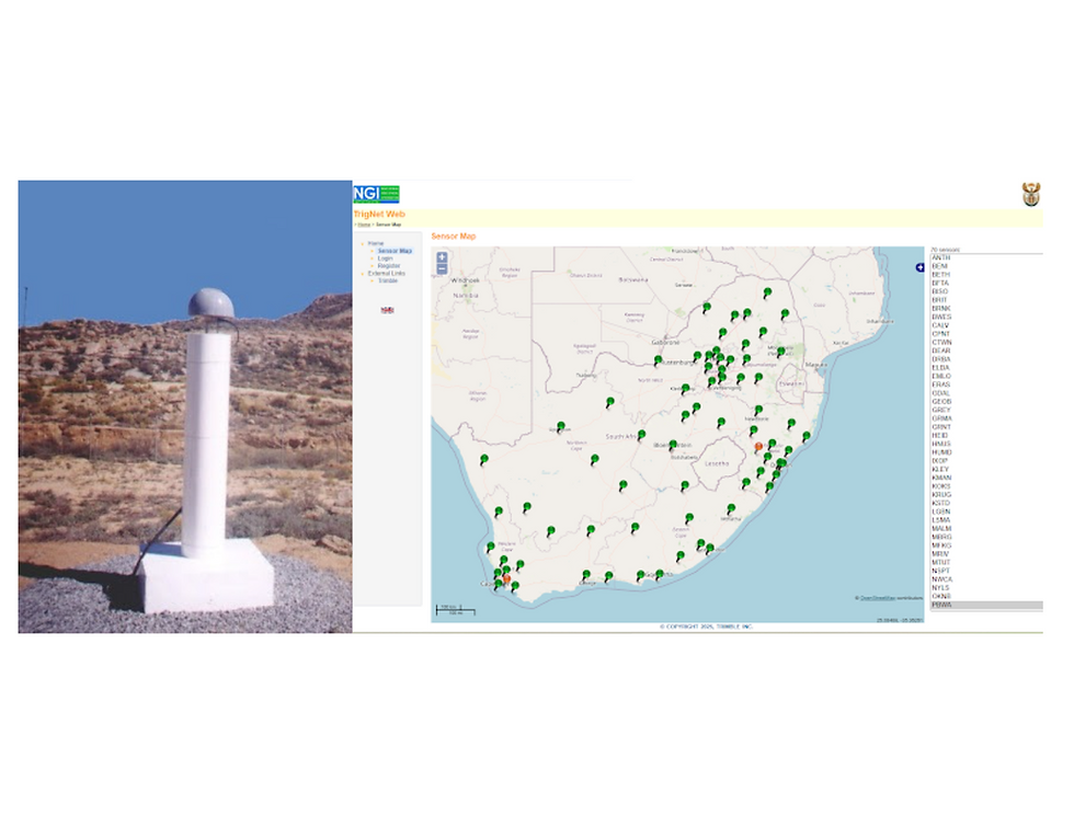
TRIGNET – South Africa’s national network of continuously operating Global Navigation Satellite System (GNSS) base stations. Delegates will gain insight into how this cutting-edge system supports positioning, surveying, and mapping across the country.
-
Aerial Triangulation and Digital Elevation Capture (ATEC) – Explore the processes behind aerial imagery triangulation, and elevation modelling that play a vital role in accurate land surveying and development planning.
The visit will end with a brief tour of the largest museum of surveying and mapping in Africa.
14h00
The tour will return to the CTICC.